Activity

©
Tour du Gros-de-Vaud / Stage 5 from Froideville to Fey
The Tour du Gros-de-Vaud is a five-stage walking route, ideal for exploring the region. Around 70 kilometres long, this walking route is divided into five stages. It forms a loop around Echallens, passing through countryside, forests and rural villages. Following a variety of paths, it offers a comprehensive overview of the Gros-de-Vaud district and its heritage.
Stage 5: from Froideville to Fey
Distance: 15.7 km
Duration: approx. 4 hours 10 minutes Total ascent: 350 m Total descent: 510 m Highest point of the stage: 880 m Lowest point of the stage: 640 m
Froideville We leave the village of Froideville, walking along the edge of the Bois du Jorat. During the Middle Ages, this vast forest was the operational base for a large number of bandits. They operated as an organised gang, robbing travellers passing through the region. In order to put a stop to their activities, the Bernese authorities succeeded in capturing twenty-five of them at the end of 1702. They were hanged in Vidy and their bodies remained on display until the summer of 1703. The fame they acquired was such that ‘The Brigands of the Jorat’ are now included in the list of living traditions of the canton of Vaud.
Poliez-Pittet Narrow forest paths lead us to the Poliez-Pittet mountain hut, situated in the far south-east of this municipality. Here, an arboretum allows us to discover the various trees found in our forests.
Villars-Tiercelin (municipality of Jorat-Menthue) After crossing the Menthue valley along a narrow forest path, we arrive at the village of Villars-Tiercelin. High up in the village lies the Étang de la Goille. It was created in 1997 as an ecological compensation measure following the construction of farm tracks. Today, it is an ideal spot for spotting small wildlife or for a picnic break.
Montaubion-Chardonney (municipality of Jorat-Menthue) As we emerge from the forest, we reach the hamlet of Montaubion-Chardonney. A few farms are clustered around the small main street. The gardens are full of flowers and we enjoy a magnificent view of the Jura.
Dommartin and Naz (municipality of Montilliez) We cross the Menthue valley several times to reach the village of Dommartin, then that of Naz. In Dommartin, we come across the Chemin des Blés, which we follow for about a kilometre. On leaving the village, an educational display has been set up about the fortified settlements of Gros-de-Vaud. A fortified village was built here in 1185. The ramparts, the buildings and the castle tower were, at that time, made of wood. At that time, there were 33 houses within the fortifications, as well as an open village comprising 57 houses. In 1235, a major fire destroyed the village. It is said that the village was rebuilt in two days. In the 1450s, all the buildings were gradually replaced by stone structures. This did not prevent a second major fire in 1547. The site was then abandoned and the village was rebuilt on its current site. Today, the ruins of the square tower of Dommartin Castle are still visible on the hill overlooking the present-day cemetery.
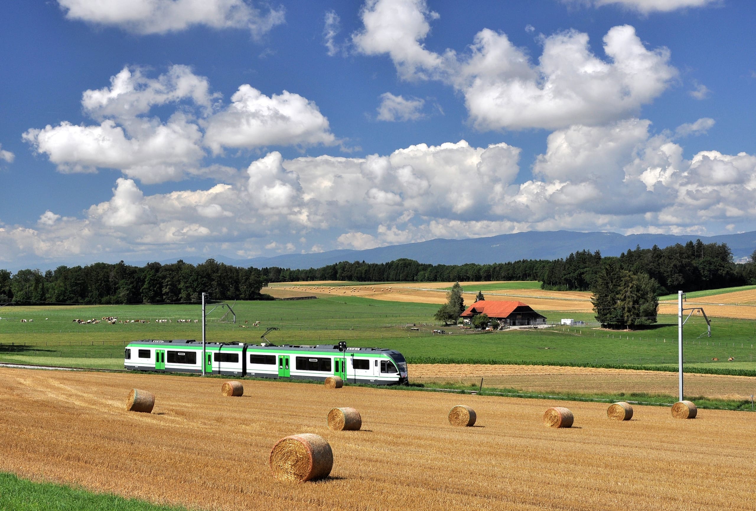
Fey A small wooden bridge takes us across the valley through which the Botterel flows. We then reach a large plateau, covered with cereal crops. We cross the Chemin des Blés once more and visit a viewpoint, where an educational display has been set up. The wheat fields stretch as far as the eye can see, and the information boards explain the history, market and processing of this cereal. The route ends at the LEB station in the village of Fey.
Routes created by Thierry Duperrut, qualified mountain guide. Email: thierry@montagne-rando.ch
. In collaboration with Echallens Région Tourisme
Link to Stage 1
Link to Stage 2
Link to Stage 3
Link to Stage 4